
A civil engineering research proposal is the five-section pitch a BSCE student defends before data collection begins: background and problem, objectives, significance and scope, methodology, and a timeline. Below is that structure filled in with one worked example — a traffic-engineering study using the Highway Capacity Manual (HCM) method — so you can see how the sections argue for each other, then build your own proposal from your own site and your own adviser’s format.
This is a labelled model, not a real study: every count, computation and date inside the example is a bracketed placeholder. Copy the structure; do not copy a number you did not collect yourself. For the finished-manuscript version of this same content once your proposal is approved, the site’s own Chapter 1 guide and conceptual framework guide go section by section.
Section 1 — Background and Statement of the Problem
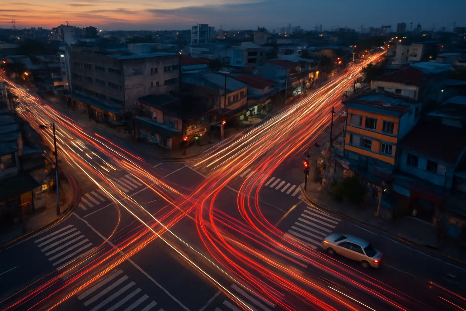
Background. State the general problem first — worsening traffic congestion at a specific urban intersection — then narrow it with what is locally observable: peak-hour queuing that regularly exceeds the signal’s green phase, delivery and public-utility vehicles stopping in the intersection box, and no recent published level-of-service (LOS) assessment for that specific junction. Cite DPWH’s Highway Safety Design Standards and the intersection’s own signal-timing plan (if published) by name; where a national congestion figure would strengthen the case but you have not opened the source yourself, describe the observed problem instead of attaching an unverified number to it.
Statement of the problem. “This study assessed the level of service of the [Name] intersection in [City], and proposed a signal-timing adjustment to reduce peak-hour delay.” Specific questions follow: what is the current LOS grade during the morning and evening peak periods; what is the average vehicle delay per approach; which approach carries the heaviest volume-to-capacity ratio; and what adjusted signal-timing plan, modeled using the HCM method, would improve the LOS grade. Every specific question here has a matching computation in Section 5 — a proposal whose questions cannot be answered by its own stated method is the single fastest way to lose a title defense, the same fault the site’s statement-of-the-problem guide flags across eight other courses.
Section 2 — Objectives, Significance and Scope
Objectives. One general objective mirroring the general statement, then specific objectives mirroring each specific question — to determine the current LOS grade, to compute average delay per approach, to identify the critical approach, and to propose an adjusted timing plan. Objectives that do not mirror the questions one for one are the second most common proposal-stage rejection.
Significance of the study. Named beneficiaries only: the city or municipal traffic management office (a data-backed basis for a timing adjustment it can actually implement), commuters and drivers using the intersection (reduced delay if the recommendation is adopted), the barangay or LGU (supporting evidence for a future infrastructure request), and future researchers (a replicable LOS baseline for the same intersection). A significance section padded with generic beneficiaries — “the researcher,” “the country,” “future generations” — reads as filler to a panel that has seen the pattern before; every entry here has to say specifically what that beneficiary can do with the finding.
Scope and delimitation. Bounded to one named signalized intersection, weekday morning and evening peak periods only (not weekends, not off-peak, not a full 24-hour count), over a stated number of observation days. State explicitly what the study does not cover — pedestrian and cyclist level of service, which the HCM assesses with separate pedestrian and bicycle methodologies needing different field data, and any physical widening or geometric redesign, which is a design proposal beyond a level-of-service assessment.

Section 3 — Related Literature and Studies
Three literature bands do the actual work in a civil engineering proposal, and a panel can tell within a paragraph which one is missing. First, studies that applied the HCM method (or an equivalent capacity-analysis method) to a comparable intersection elsewhere in the Philippines or the region — these justify that the method itself is appropriate and give you a benchmark LOS range to compare against. Second, studies on the specific congestion mechanism at play — turning-movement conflicts, informal on-street parking reducing effective lane width, or paratransit dwell time at a nearby stop — which is what turns “this intersection is congested” into a testable mechanism. Third, DPWH’s own design manuals and any published signal-warrant or geometric-design standard relevant to the intersection type, which is where the “what should this intersection be capable of” comparison standard comes from. The synthesis paragraph at the end should state, in your own words, what local Philippine data on this exact intersection type does not yet exist — that gap is the proposal’s actual justification, not a restatement of the literature.
Section 4 — Conceptual Framework
An input-process-output (IPO) model fits a level-of-service assessment cleanly. Input: intersection geometry, current signal timing plan, and peak-period traffic volume by approach and vehicle class. Process: HCM 2016 signalized-intersection methodology — volume adjustment, saturation flow rate computation, capacity analysis, and control-delay computation by approach and by movement. Output: the current LOS grade, the critical approach identified, and the proposed adjusted timing plan with its predicted LOS improvement. The narrative paragraph beneath the diagram should say, in one or two sentences, why the process box uses HCM specifically rather than a simpler manual count-and-compare method: HCM’s delay-based LOS grading is a widely taught, documented procedure, which makes the result comparable with other published intersection studies that used the same method.
Section 5 — Research Methodology
Research design. Descriptive-evaluative — descriptive for the current traffic and delay profile, evaluative for the proposed timing adjustment against the HCM LOS scale. Not experimental, since the adjusted plan is a computed proposal, not a live field trial the study implements and re-measures.
Locale. The named intersection, with a site map and a photo log of the four approaches, current lane configuration, and existing signal phasing.
Data collection. Manual turning-movement counts at 15-minute intervals across each peak period, classified by vehicle type (car, jeepney, motorcycle, truck, tricycle where applicable, each converted with a passenger-car-equivalent factor taken from a named, cited source — a DPWH or local study value for jeepneys and tricycles, which the HCM itself does not tabulate), collected on typical weekdays and excluding days with unusual events, following the same field-log discipline the site’s own civil engineering methodology guide uses for a materials-testing study.
Analysis and a worked computation walkthrough. Volumes are converted to passenger-car-equivalent flow rates, saturation flow rate is estimated per approach, and control delay is computed per the HCM signalized-intersection procedure, giving a LOS letter grade (A through F) for each approach and for the intersection overall. The table below shows the shape of that computation with placeholder values — the columns, not the numbers, are what your own field data fills in:
| Approach | Peak-hour volume [pcu/hr] | Volume/Capacity ratio | Control delay [sec/veh] | LOS grade |
|---|---|---|---|---|
| North (major) | [value] | [value] | [value] | [A–F] |
| South (major) | [value] | [value] | [value] | [A–F] |
| East (minor) | [value] | [value] | [value] | [A–F] |
| West (minor, critical) | [value] | [value] | [value] | [A–F] |
The adjusted timing plan is then re-run through the same computation to produce a predicted, not measured, LOS improvement — the proposal should say explicitly that this is a computed projection, not a field-validated result, since the timing change was never actually implemented. A proposal that presents a projected improvement as if it were an observed one is the kind of overclaim a transportation-engineering panel catches immediately, because the method itself only supports a projection.
Section 6 — Timeline and Expected Output
A stated sequence, not a fixed calendar: site reconnaissance and instrument preparation (weeks 1–2), field data collection across the required weekdays (weeks 3–4), data reduction and HCM computation (weeks 5–6), draft results and adjusted-plan modeling (weeks 7–8), and manuscript writing with adviser review (weeks 9–12). Build in a buffer week around the field-collection phase specifically — weather, intersection closures for unrelated roadworks, or an unexpectedly low-traffic holiday week are the most common reasons a civil engineering field count has to be repeated, and a proposal that shows no slack anywhere in its schedule reads as unrealistic to a panel that has supervised a field-based thesis before. The expected output is a single-page current-versus-proposed LOS comparison table plus the full manuscript — stating this up front tells the panel exactly what deliverable the twelve weeks produce.
What makes a civil engineering proposal pass at title defense
The problem is locally specific, not a restatement of a textbook issue; every objective has a matching method in Section 5 that can actually answer it; the standard named — HCM, ASTM, ACI, NSCP, or a DPWH design manual — is the correct one for the sub-field and cited by its exact designation, not a generic “engineering standards”; the scope excludes what the method genuinely cannot measure rather than implying it covers everything; and the timeline is realistic against the data-collection method described, with a stated buffer, rather than a generic twelve-week template copied from another proposal. A proposal built this way rarely needs a second title defense, and the finished manuscript follows directly from it in the format covered by the site’s APA 7 formatting guide.
Draft your own civil engineering proposal from your own site
Tesify drafts each proposal section from your own intersection, structure or materials problem — the background funnel, the objectives that mirror your questions, and the methodology tied to the correct standard for your sub-field. Over 9,000 students have used it to write more than 15,000 chapters, and every word is still written by you.
Frequently asked questions
Is a research proposal the same as Chapter 1 of the thesis?
They overlap heavily but are not identical documents. A proposal is a shorter, forward-looking pitch defended before data collection begins, usually at title defense; Chapter 1 is the introduction as it appears in the finished manuscript, often expanded with figures and citations gathered after the proposal was approved.
Does every BSCE thesis need a traffic or transportation topic like this example?
No. The traffic-engineering example is one worked case chosen because its instrument, the Highway Capacity Manual method, is well documented and widely taught; the same six-section proposal structure applies equally to a structural, geotechnical, water-resources or construction-management topic, substituting the relevant standard — ASTM and ACI for a materials study, or a geotechnical design manual for a foundation study — for the HCM method used here.
What if my adviser wants a different proposal format than this one?
Follow your adviser’s and your school’s own format without exception; the sections here are the substance every civil engineering proposal needs in some form, but their order, headings and required attachments vary by school and department.
How specific does the timeline need to be at the proposal stage?
Specific enough to show the panel the design is feasible on a semester or two-semester timeline — named activities with a start and end period are expected, even though exact dates usually shift once data collection begins.
Can I use secondary traffic data instead of collecting my own counts?
Only if a genuinely recent, site-specific count already exists from an LGU or DPWH traffic study and you can access and cite it directly; most proposals still need an original count, because published counts are rarely current enough or granular enough by approach and vehicle class for an HCM-level computation.