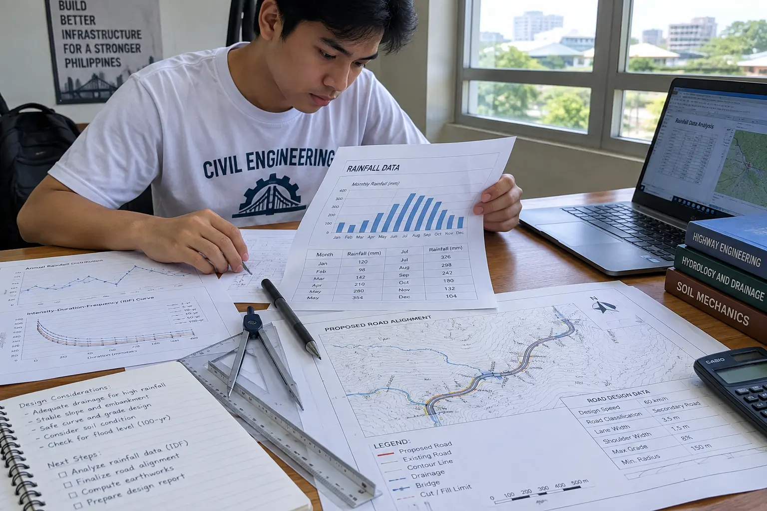
A civil engineering thesis almost always needs real Philippine numbers somewhere in Chapters 1 and 2 — rainfall intensity for a drainage design, road-accident or traffic-volume figures for a transport study, construction-material statistics for a materials thesis, or soil and seismic data for a structural design. The comparison below covers where that data actually lives, what is free, and what a research office typically has to request in writing.
| Source | Best for | Free / public? | How you access it | Verdict |
|---|---|---|---|---|
| DPWH (Department of Public Works and Highways) | Road and bridge design standards, unit prices, project specifications | Design guidelines and the DPWH Blue Book are publicly referenced; project-level data often needs a formal request | Published standards and circulars on the DPWH website; specific project data through the district or regional office | The default source for design criteria; not a bulk open-data portal |
| PSA (Philippine Statistics Authority) OpenSTAT | Construction statistics, building permits, quarry and mining output, population data for demand studies | Yes, OpenSTAT tables are free to browse and download | psa.gov.ph and the OpenSTAT portal, searchable by table title | Best free starting point for any thesis needing an official Philippine number with a citable source and year |
| PAGASA (Philippine Atmospheric, Geophysical and Astronomical Services Administration) | Rainfall intensity, climate normals, flood and typhoon data for drainage, hydrology and disaster-resilient design theses | Some climate normals and advisories are public; historical station-level data for design storms often needs a formal data request | pagasa.dost.gov.ph for public bulletins; written request to the Climatology and Agrometeorology Division for detailed station records | Essential for any hydrology or drainage-design thesis; budget time for the request process |
| MGB (Mines and Geosciences Bureau) | Geohazard maps, soil and geological data for foundation and slope-stability studies | Geohazard maps are publicly published; detailed borehole or exploration data is site-specific and rarer | mgb.gov.ph regional office publications; local government geohazard maps | Good first pass for regional geohazard context; site-specific soil data still needs your own field investigation |
| DENR-EMB (Environmental Management Bureau) | Environmental compliance data, water and air quality monitoring relevant to an infrastructure impact study | Summary reports are public; raw monitoring data availability varies by region | emb.gov.ph and regional EMB offices | Useful when your thesis touches an infrastructure project’s environmental impact, less so for a pure structural-design thesis |
| NSCP (National Structural Code of the Philippines) / ASEP | Seismic zoning, load provisions and design coefficients every structural design thesis must cite correctly | The code itself is a paid publication from ASEP; summaries and provisions are widely cited in academic literature | Association of Structural Engineers of the Philippines (ASEP) for the current edition | Not a data source in the open-data sense, but the mandatory reference for any structural design chapter |
Why This List Looks Different From a General “Where to Find Thesis Data” Guide
A civil engineering thesis rarely needs the socioeconomic or survey-based data a business or education thesis pulls from PSA’s population and labor tables. It needs technical, design-relevant figures: rainfall intensity-duration-frequency curves, traffic counts, material strength standards, seismic parameters. That is a narrower, more specialized set of sources than the general PSA/CHED figures our Philippine higher education statistics guide covers for Chapter 1 background — this piece stays inside the technical-data lane specific to civil engineering design work.
Using PSA OpenSTAT for a Materials or Construction-Economics Thesis
If your thesis studies construction material costs, building-permit trends, or the volume of a specific construction activity in a region, PSA’s OpenSTAT portal is the correct free starting point. Search by table title rather than keyword-guessing, and always record the exact table code and reference period in your Chapter 2 citation — PSA revises and re-publishes series periodically, and a citation without the reference period cannot be checked by your panel later. Where OpenSTAT does not carry a series at the resolution your thesis needs (a specific municipality rather than a region, for instance), the PSA regional office can sometimes provide a more granular breakdown on written request, though turnaround time varies and should be built into your Chapter 3 timeline, not assumed to be instant.
Requesting PAGASA Climate Data: What to Expect
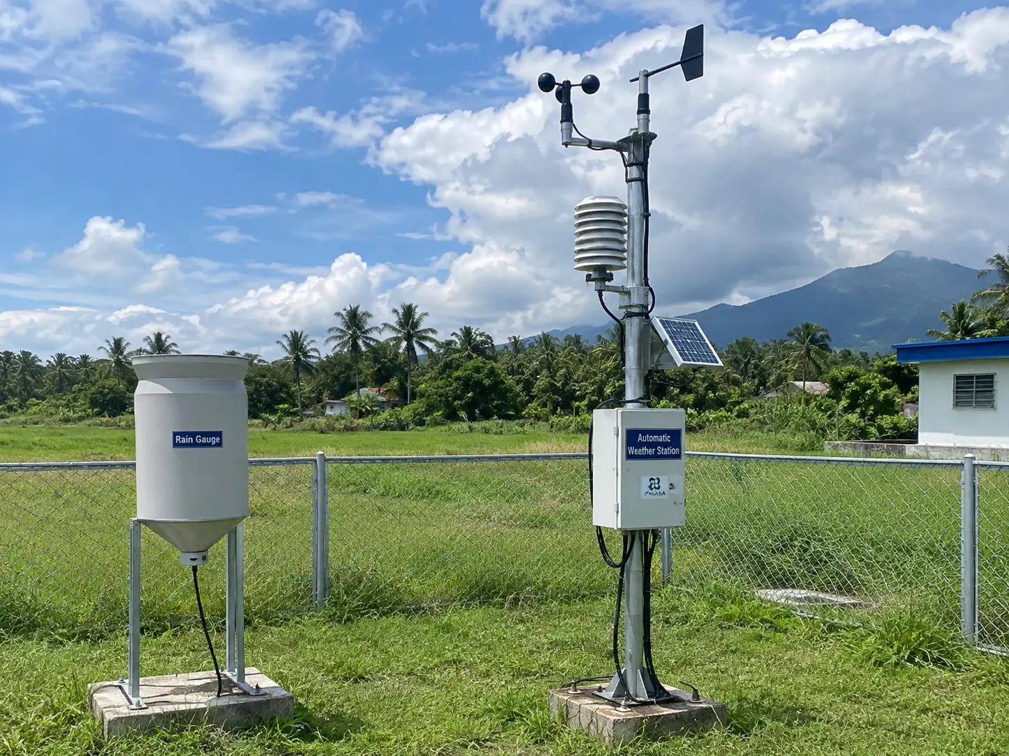
Public PAGASA bulletins and climate normals cover general trends, but a drainage or flood-modeling thesis usually needs station-specific historical rainfall records — daily or hourly rainfall over a multi-year period for the nearest synoptic or automatic weather station. This level of detail is typically requested in writing from PAGASA’s Climatology and Agrometeorology Division, addressed with your adviser’s endorsement and a clear statement of the exact station, parameter, and date range needed. Build at least two to three weeks into your timeline for this request to be processed, and have a backup plan (a nearby station, or a shorter date range) in case the exact station you want has data gaps, which is common for older automatic weather stations.
Geohazard and Soil Data: Public Maps Versus Your Own Field Work
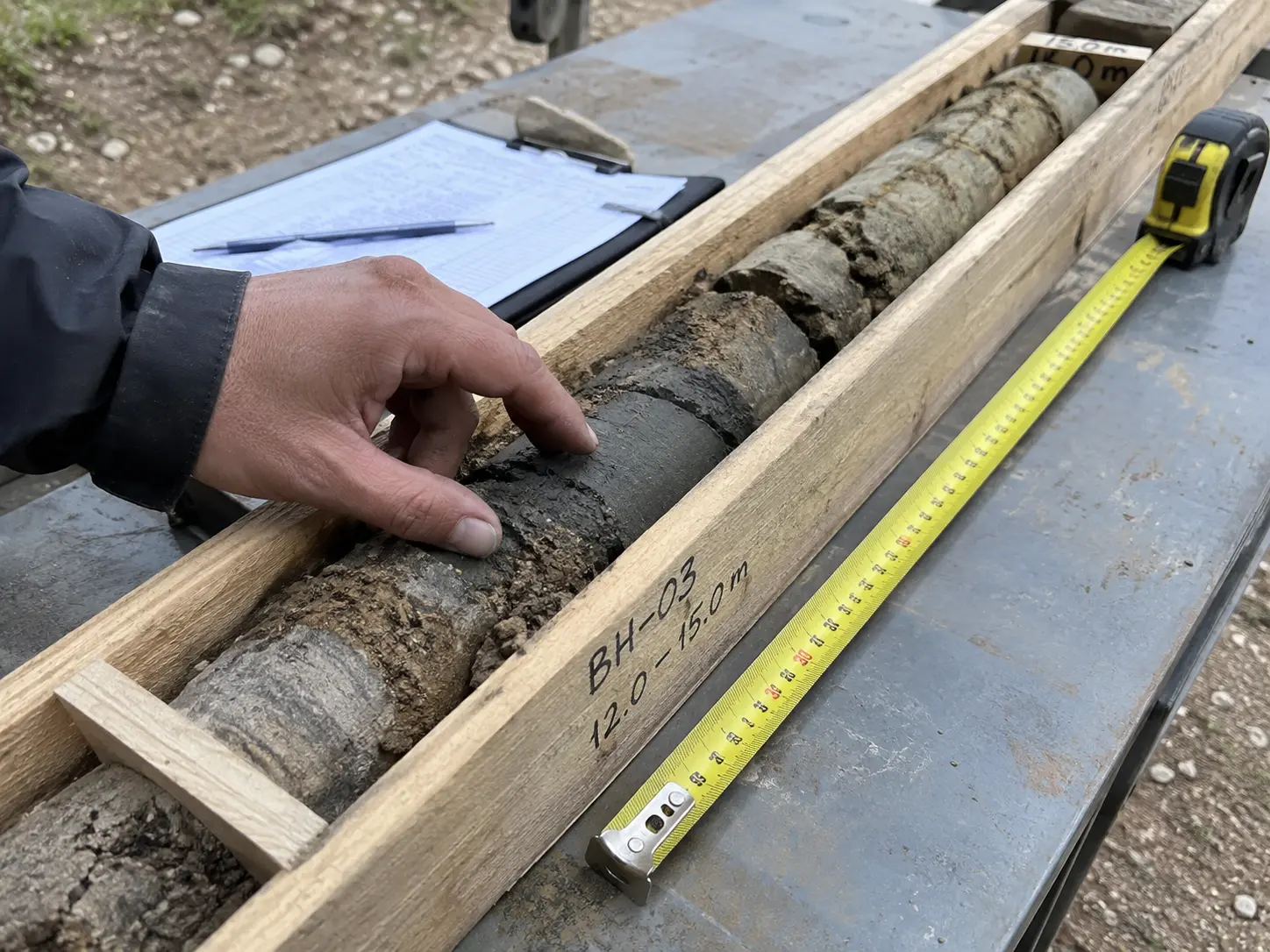
MGB’s geohazard maps (landslide and flood susceptibility, by province and municipality) are a legitimate, citable public source for the regional context section of a foundation, slope-stability or site-selection thesis. They are not, however, a substitute for site-specific soil investigation — a real foundation-design thesis still needs actual borehole logs, standard penetration test results, or laboratory soil classification from the specific site, gathered through your own or your school’s field work. State this distinction explicitly in Chapter 3: the geohazard map establishes regional context, and the field investigation establishes the design parameters. Conflating the two is a common and avoidable error a structural or geotechnical panel will catch immediately.
The Non-Negotiable Reference for Any Structural Design Thesis
If any part of your thesis involves structural design — beam, column, slab or foundation sizing, seismic load computation — the current edition of the National Structural Code of the Philippines (NSCP), published by the Association of Structural Engineers of the Philippines, is the reference your methodology and design computations must cite correctly, including the edition year. Citing a superseded edition, or citing “the NSCP” without a year, is one of the fastest ways to lose credibility with a structural panel: code provisions on seismic zoning and load combinations have changed across editions, and a design computed against an outdated table is a design your panel is entitled to reject outright. Confirm the current edition with your adviser or department before finalizing your design chapter.
A Practical Note on DPWH Data
DPWH is the correct reference for design standards, typical cross-sections, and the “Blue Book” specifications already established across the site’s civil engineering methodology content, but it is not organized as a public bulk-data portal the way PSA is. Project-specific data — actual traffic counts on a named road, as-built drawings, maintenance records — usually requires a formal letter to the relevant district or regional engineering office, routed through your school, and is not guaranteed to be released for a student thesis depending on the office’s own data-sharing policy. Plan an alternative data source (a traffic count you conduct yourself, or a nearby completed study you can cite) in case the request does not come through in time.
Recording Your Sources So a Panel Can Verify Them
Every data source in the comparison above should be logged in a running source list from the moment you first open it — not reconstructed from memory when Chapter 2 is due. For each figure or dataset, record the exact table code or document title, the publishing agency, the reference period or edition year, the URL or the office you requested it from, and the date you accessed or received it. This is the difference between a Chapter 2 a panel can spot-check in five minutes and one that triggers a line-by-line interrogation at your defense, because every civil engineering panel has seen at least one thesis where a “PSA figure” or “NSCP provision” could not be traced back to an actual table or edition when asked.
Where a figure changes between the time you first cite it and your final defense — PSA revises a series, PAGASA updates a climate normal period, or a new NSCP edition is released mid-thesis — note the revision and decide with your adviser whether to update your citation or explicitly state you are using the version current as of your data-collection date. Either choice is defensible; silently leaving an outdated figure in your final manuscript is not.
Where This Fits With the Rest of Your Thesis
Once your data sources are identified, the way you describe them in Chapter 3 should follow the same structure covered in our civil engineering thesis methodology guide, which already walks through mix design, ASTM tests and DPWH criteria for a materials-testing study. If your thesis is still at the proposal stage, the civil engineering thesis research proposal example shows how a data-sources section reads inside a full proposal. And if you have not yet locked in your exact topic, 18 topics with research questions are in our civil engineering thesis topics guide — several of which specifically need one or more of the sources compared above. A closely related field with overlapping data needs (hydrology, geohazards, environmental compliance) is covered from the environmental side in our environmental science thesis topics guide, worth a look if your civil engineering thesis leans toward an environmental-impact angle.
Where Tesify Fits
Tesify will not request PAGASA station data or file a DPWH data request for you — that correspondence has to come from you and your adviser. What it does well is turning your gathered sources, once cited with their exact table codes, reference periods, and code editions, into a properly formatted Chapter 2 review of related literature and a Chapter 3 methodology section.
Turn your gathered data sources into a properly cited Chapter 2 and 3
Tesify drafts your literature review and methodology sections around the exact PSA tables, PAGASA records, and code editions you cite — over 9,000 students have used it to write more than 15,000 chapters, and every word is still written by you.
Frequently Asked Questions
- Is PSA OpenSTAT enough for a civil engineering thesis, or do I need PAGASA and MGB too?
- It depends on your topic. A construction-economics or materials-cost thesis may rely mostly on PSA; a drainage or hydrology thesis needs PAGASA rainfall data; a foundation or slope-stability thesis needs MGB geohazard context plus your own soil investigation. Most theses combine at least two of these sources.
- How long does a PAGASA data request typically take?
- It varies and is not guaranteed, but building in at least two to three weeks is a reasonable planning assumption. Submit the request as early as possible in your timeline, with your adviser’s endorsement and a precise statement of the station, parameter and date range you need.
- Can I use a geohazard map instead of doing my own soil investigation?
- No. A geohazard map establishes regional context and hazard classification; an actual foundation or structural design thesis needs site-specific soil data from your own or your school’s field investigation, such as borehole logs or standard penetration test results.
- Which edition of the NSCP should I cite?
- Always the current edition at the time you are writing, confirmed with your adviser or department, since seismic zoning and load provisions have changed across editions and a design computed against a superseded table is not defensible at your defense.
- Is DPWH data free to access?
- Published design standards, circulars and the Blue Book specifications are publicly referenced and widely available. Project-specific or as-built data usually requires a formal request routed through the relevant district or regional office and is not guaranteed to be released.
- What if PAGASA does not have data for the exact station near my study site?
- Have a backup plan before you submit your request: identify the next-nearest station with a reasonably complete record, or narrow your date range, and state this substitution explicitly in your methodology rather than presenting a distant station’s data as if it were local.
- Do I need to pay for the NSCP to cite it correctly?
- The code itself is a paid publication from ASEP, but many academic libraries and engineering departments hold a copy, and its key provisions (edition, seismic zone tables, load combinations) are commonly summarized and cited correctly in published academic literature you can reference alongside it.